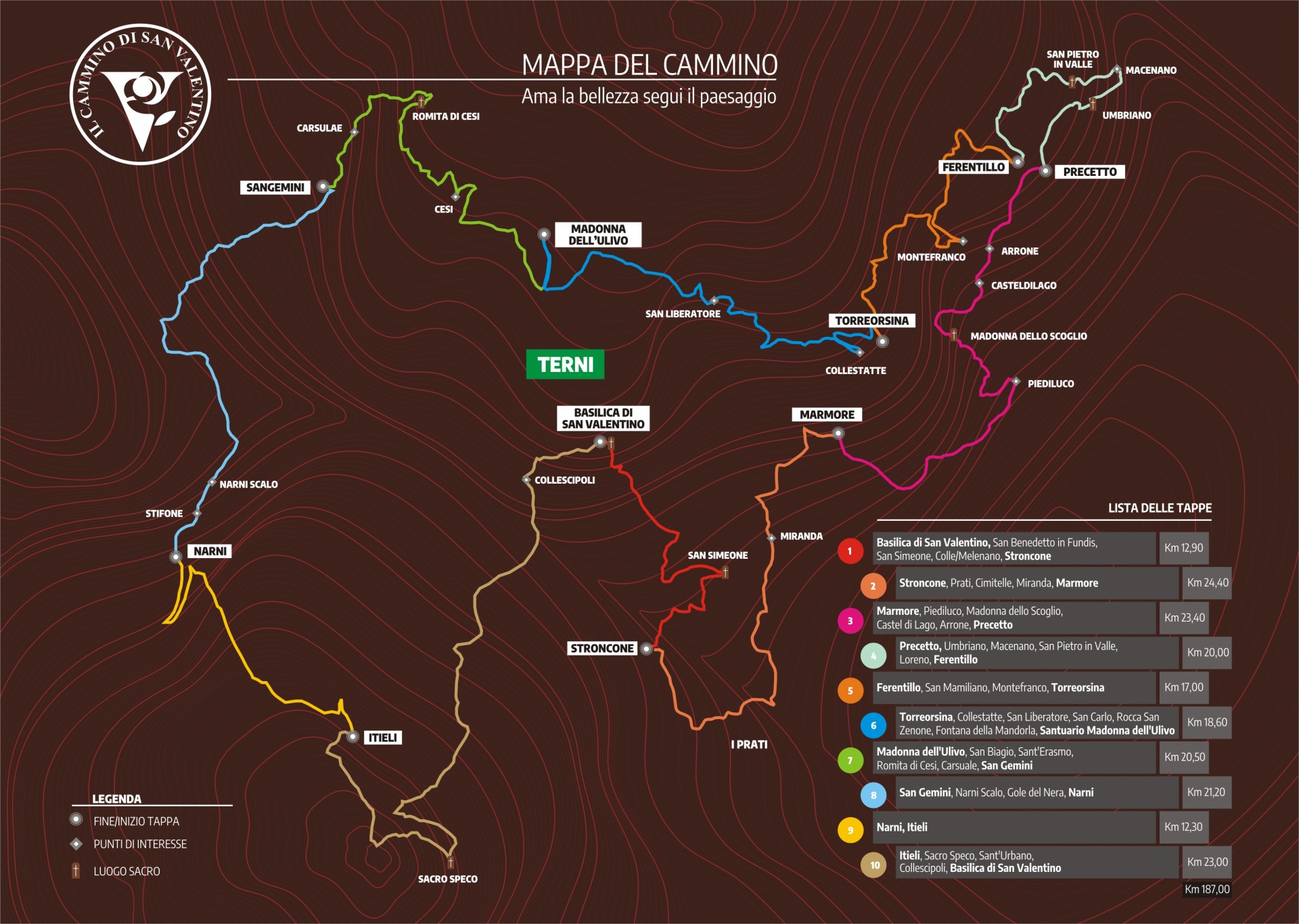
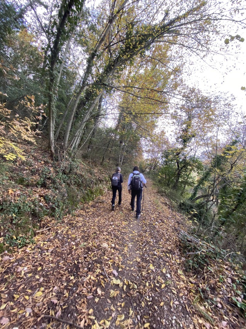
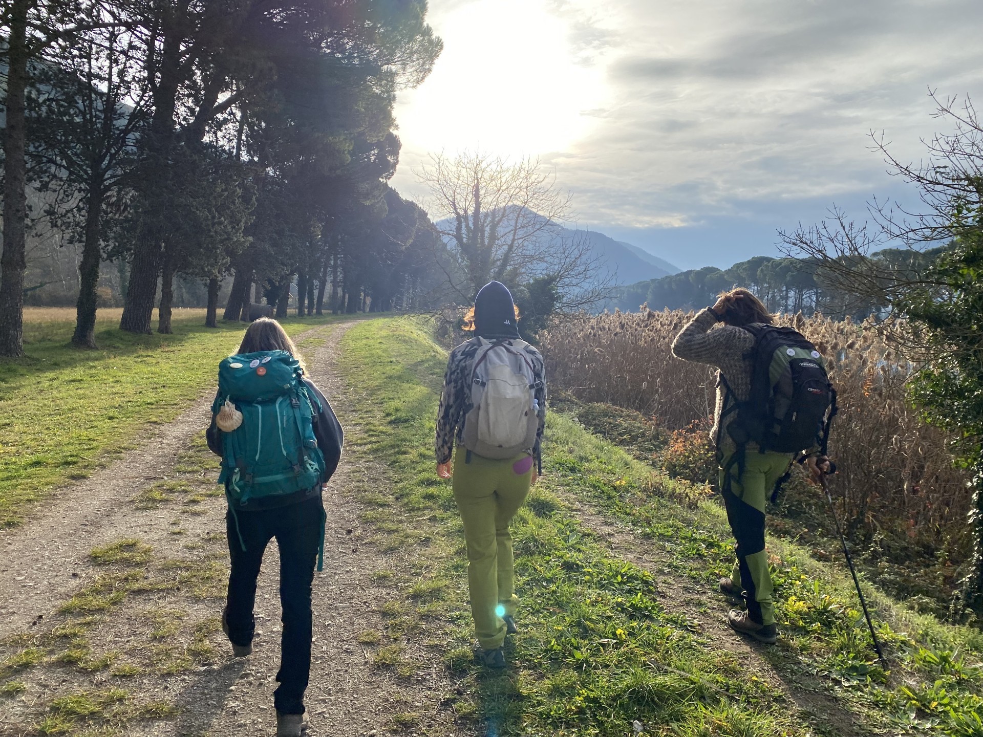
The St. Valentino's way is a unique experience that winds for about 190 km through the hills of Terni, a fascinating loop route that is rarely frequented by traditional tourist circuits. Guided by the footsteps of Saint Valentine, the patron saint of Terni, the universal saint of love and passion. You will embark on an exciting journey through ten stages that will lead you to discover ancient traditions and breathtaking landscapes such as the famous Marmore Waterfalls or through charming medieval villages and ancient monasteries. This path is not just a journey, but also an immersion in millennium-old traditions, local legends, and the gastronomic flavors of the region.
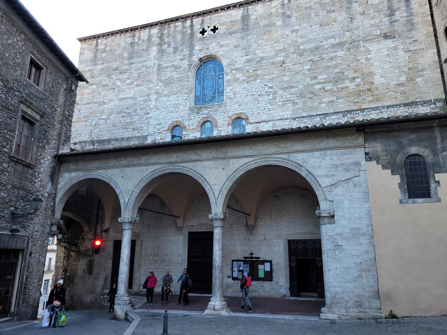
1st Day: From Terni to Stroncone Starting from the Basilica of San Valentino located on the outskirts of the city, immediately bordering a hilly area, so the route climbs immediately into the greenery (first among olive trees and then into the woods), then you will encounter the fascinating ruins of the Abbey of San Benedetto in Fundis (km 8.1), immersed in vegetation, and then the monastery of San Simeone, reconstructed and inhabited by the lively community of the "Reconstructors" (km 10.2), to finally lead you to the Franciscan convent of Beato Antonio Vici, at the gates of Stroncone, a village still intact in its medieval structure and architecture. (Distance: 12.92 km; Duration: 4 hours)
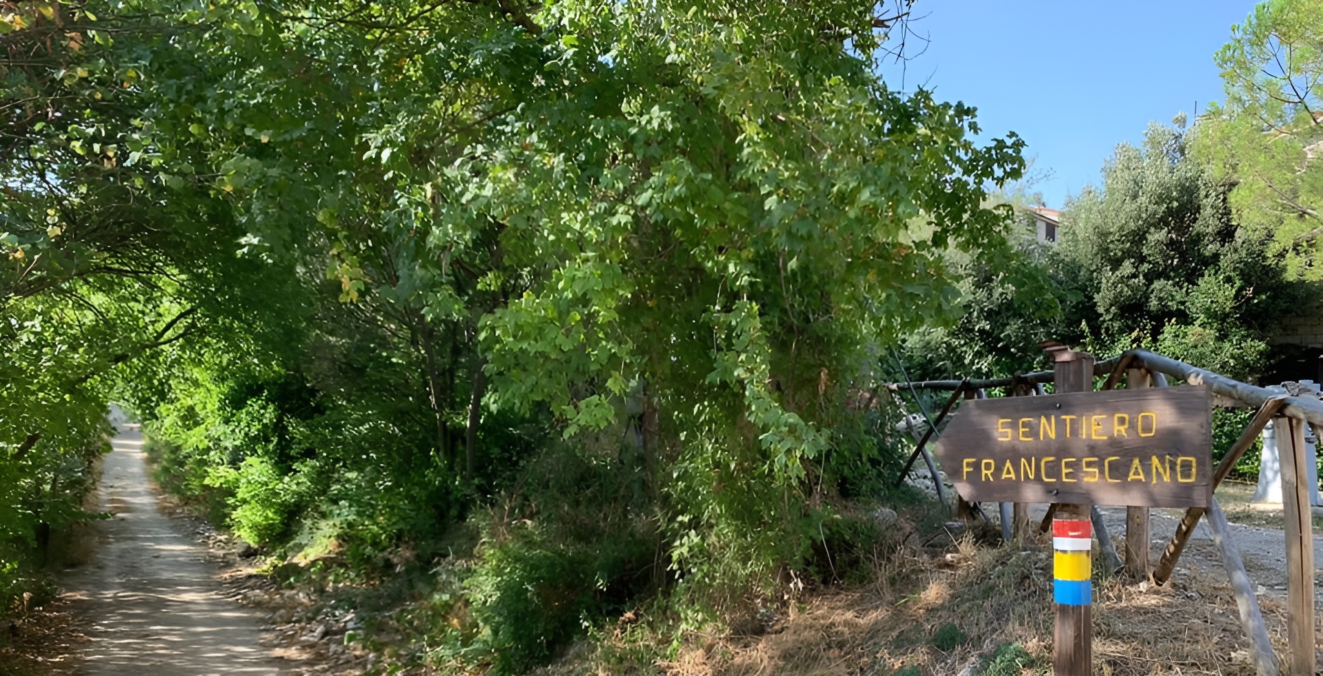
2nd Day: From Stroncone to Marmore Leaving the village of Stroncone, the path follows entirely the beautiful Franciscan Trail in the woods, along which you will find the chapel of Madonna del Tresto and various traces of the passage of Saint Francis and Saint Bernardino. The path climbs up to reach the mountain meadows of the locality "I Prati" at 900 meters above sea level (km 8.2); from here, the route continues among chestnut groves before descending, in the last stretch, towards the town of Marmore, where you can visit the famous Waterfall. (Distance: 23.12 km; Duration: 7 hours)
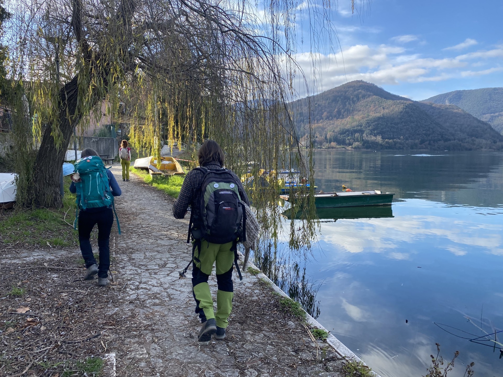
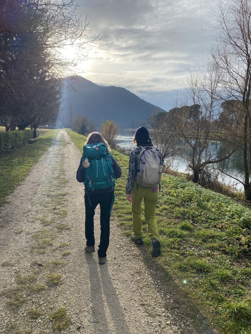
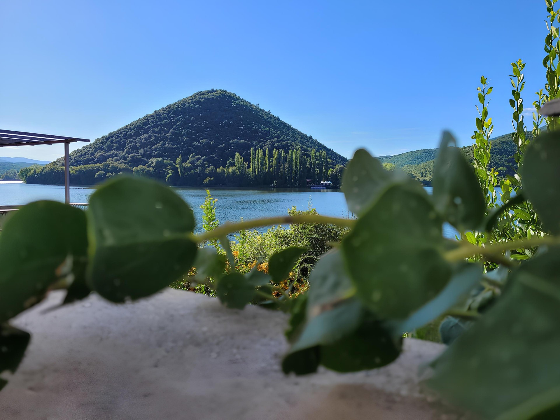
3rd Day: From Marmore to Precetto The first part of this stage winds along the quiet banks of the Velino river and the suggestive lake of Piediluco, nestled in the greenery of the mountains. Always staying by the lake, you cross the picturesque village of Piediluco (km 6), then gently climb up to the pass that connects the Rieti plain with the Nera river valley. Along the subsequent descent, you reach the hermitage of Madonna dello Scoglio (km 13.7), in a panoramic position, and continue towards the bottom of the Valnerina valley, skirting the splendid villages of Casteldilago and Arrone (km 18). In the last stretch of the stage, you walk along the pleasant Greenway of the Nera, along the riverbank, which leads to the square of Precetto. (Distance: 23.40 km; Duration: 5 hours)
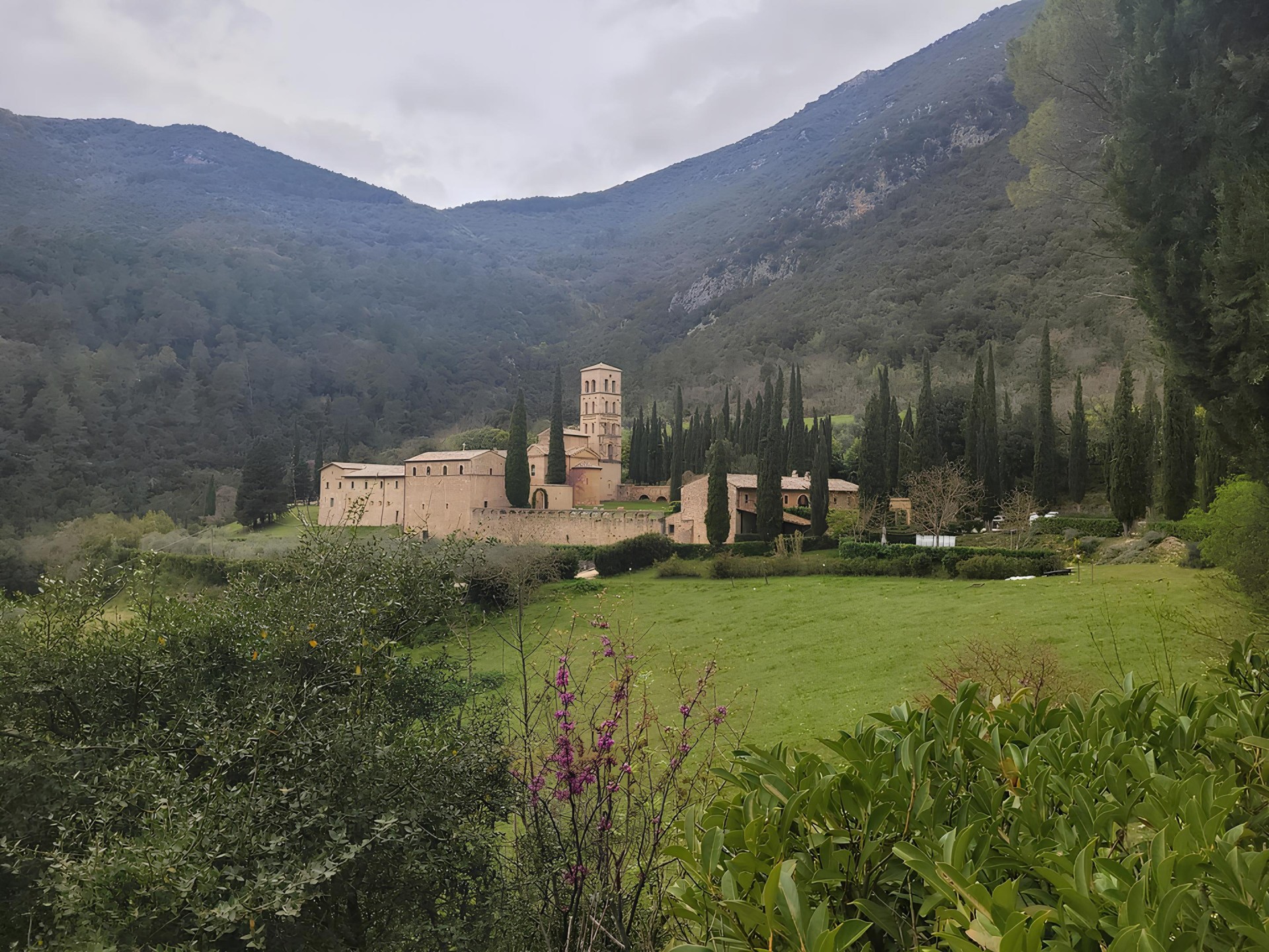
4th Day: From Precetto to Ferentillo After a short stretch of the Nera Greenway, the path climbs into the woods to reach the suggestive ghost town of Umbriano (km 4), from which you then descend to the village of Macenano (km 5.2), nestled on the banks of the river. From here, crossing to the other side of the valley, you reach the magnificent Abbey of San Pietro in Valle (km 7.4) and then undertake a challenging but enjoyable ascent, still through the woods, to the hamlet of Lorino (km 12), at 700 meters above sea level, from where you can enjoy a breathtaking view of the Ternana Valnerina and the mountains. The last stretch of the stage, downhill, winds along the Path of the Nativity scenes (dotted with small nativity scenes placed among the rocks and vegetation) and, after passing through the hamlet of Gabbio (km 14), quickly leads to the square of Ferentillo. (Distance: 15.70 km; Duration: 5 hours)
5th Day: From Ferentillo to Torreorsina Moving from the village of Ferentillo, the stage mostly winds along the paved road, remaining very pleasant due to the modest traffic and the opportunity to walk comfortably along the roadside, with constant panoramic views of the Valnerina. However, there are also pleasant stretches of woods. The route passes through the splendid semi-abandoned (but perfectly preserved) village of San Mamiliano (km 3.7), skirts the archaeological area of Monte Moro (which can be visited with a very short detour from km 4.7) and then crosses the village of Montefranco (km 7.3), finally reaching the characteristic village of Torreorsina. (Distance: 16.40 km; Duration: 4 hours)
6th Day: From Torreorsina to Madonna dell'Ulivo Shortly after leaving the village of Torreorsina, you reach the historic village of Collestatte (around km 2), then climb up to the hamlet of San Liberatore (at 420 m above sea level) and from there, leaving the Valnerina, descend to reach the district of Rocca San Zenone (at the foot of the homonymous village, in the eastern area of Terni). After this brief urban passage, you ascend to cross (always walking halfway) the olive grove that extends at the foot of the Martani mountains, from which you have beautiful views of the Ternana Basin. You thus arrive at the suggestive and panoramic Sanctuary of Madonna dell'Ulivo, nestled in the rock among the olive trees. (Distance: 17.80 km; Duration: 4 hours)
7th Day: From Madonna degli Ulivi to San Gemini Leaving the Sanctuary, the first part of the stage leads, on very quiet paved roads, to the gates of the precious village of Cesi: a true balcony on the Ternana Basin, clinging to the rock on the slopes of Mount Eolo (at 437 m above sea level), which you can visit with a detour from the ordinary route. From here, you enter the woods and begin the challenging but very pleasant climb into the woods which, after touching the church of San Biagio, reaches the plateau dominated by the church of Sant'Erasmo (km 6, at 780 meters above sea level), from which you can enjoy the widest possible view of Terni and its territory. You continue always in the shade of the woods of the Monti Martani, touching the ruins of the church of Santa Caterina and then the extraordinary complex of the Hermitage of the Romita (about km 13). From here you begin to descend to reach - and visit - the archaeological park of Carsulae (km 15), one of the most important sites on the Path before arriving at the historic town of Sangemini, known for its waters, which is one of the "Most Beautiful Villages of Italy". (Distance: 19.60 km; Duration: 6 hours)
8th Day: From San Gemini to Narni The first part of the stage winds along quiet country roads that cross cultivated and olive-covered hills, until reaching Narni Scalo (about km 14), where shops and services are available. Once past the village, the path leads to the banks of the Nera river, where you can admire the majestic remains of the Augustus Bridge. From here, you enter the Gole del Nera, the path of the old railway which, walking along the river, leads to the locality of Recentino (km 19). At this point, if time and strength allow, it is possible (continuing along the former railway, with an important deviation of about 4 km round trip) to reach the tiny village of Stifone, where the incredible characteristics of the water (between river and springs) make the place a natural wonder among the most remarkable and unique in the territory crossed by the Path. Returning to the locality of Recentino, crossing the S.S. and climbing steeply the rocky spur, you arrive (entering from Porta Pietra) at the splendid town of Narni, which you can visit calmly the following morning. (Distance: 21.50 km; Duration: 7 hours)
9th Day: From Narni to Itieli The intentionally short stage allows you to comfortably dedicate the morning (or part of it) to the unmissable visit of the city of Narni. After leaving the town, you climb up to the Rocca, dominating over the entire Ternana Basin, and then walk always in the woods, crossing the Ponte Cardona park (from km 2.9). The park's path follows the route of the Roman aqueduct of Formina (of which several elements are visible) and leads to the geographical center of Italy (marked by a boundary stone of the IGM), where the intact and majestic Roman bridge stands on a gorge. Continuing in the holm oak grove, the path reaches the gates of Itieli (perched at 600 meters above sea level), but before returning, and finishing, in the village, it crosses the Colle Censo park, which hosts, in the thick of the greenery, curious works to be discovered (such as, for example, the gigantic "Polyphemus' bench" or the sword in the rock). (Distance: 11.97 km; Duration: 3.30 hours)
10th Day: From Iteli to the Basilica of San Valentino After leaving the village of Itieli, you reach the Cross of San Valentino (km 3.4) and then arrive at the Franciscan hermitage of the Sacred Grotto (km 7.4), one of the most fascinating sites of the entire Path, and certainly the one most imbued with spirituality. From the Grotto, you continue to descend to the village of Sant'Urbano (km 8.6) and then, for the next 10 km, you walk through the countryside on very quiet roads (only in some short stretches, duly indicated, you need to pay attention to traffic). Just at the end of the stage, the last gift of the Path: the small village of Collescipoli (km 18.5) isolated on a hill at the gates of the city of Terni, whose city walls contain - and preserve - a remarkable historical and artistic heritage, especially for a village of such size. After visiting Collescipoli, with a last short downhill stretch, on secondary roads in the greenery, you arrive in front of the Basilica of San Valentino, where the Path ends and you can collect the Testimonium. (Distance: 23.00 km; Duration: 5 hours)
Details
The rate includes
9-night stay in a Farmhouse/Hotel/B&B along the Camino
Accommodation in a double room, breakfast included
Dinners at the restaurants of the facilities or in the immediate vicinity (still easily reachable on foot in a few minutes)
Medical/baggage insurance
GPX tracks
Credentials
Gadgets
The rate does not include
- Tourist tax to be paid on site, meals not mentioned, personal extras, tips, transport and transfers, anything not expressly indicated under "The price includes". - Optional cancellation insurance, quote on request.


